
The Hikers
New member
Well, since finishing the NEHH last year, we have been redoing favorites. We had promised ourselves a visit to the ADK's, so we hooked up the pop-up and headed out for the High Peaks. My first mistake was planning a route which took me over bread loaf and into middlebury in the 85-90 degree temperatures. By the time we pulled the camper up all that elevation to reach the camp ground at Whispering Pines the car's temperature guage had taken residence very close to "H". With a high mileage vehicle like mine, this is not a comfortable feeling.
To further increase our discomfort we spent 45 minutes in the hot afternoon sun positioning and repositioning the camper until it was located perfectly. Relief was found within miles, however as we took a swim in the cool waters of Cascade Lake.
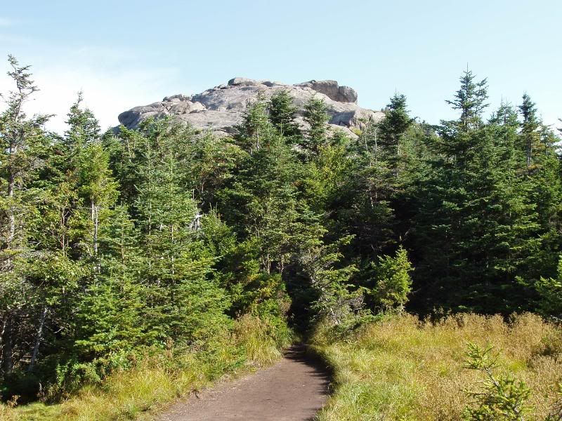
Tuesday Morning we set out from the Loj for Marcy. The Trail was wide and well-used, muddy in many areas , rocky in most. Unfortunately for us, the temperature and humidity made for limited visibility from the summit, but we had made fairly good time ,getting there in about four hours. We didn't really know what to expect in this unknown teritory except that most hikes involved long miles.Todays would be 14.8 miles and an elevation gain of 3166 ft.
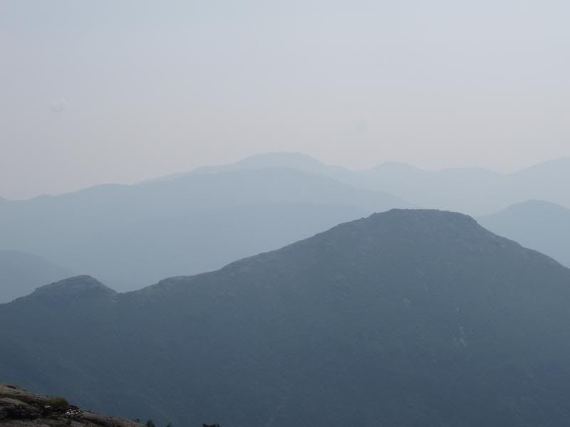
Foggy View From Marcy
Wednesday Morning we were ,once again, the first to sign the log book and head out from the Loj on the Van Hoevenberg Trail. This time our goal was Algonguin Peak 4.3 Miles away. We had been told that this one would be harder than Marcy, and it was. Before we had gone half way, the rain began and it was out with the ponchos. Now, climbing wet boulders with a poncho on in hot and humid weather gets about a 1 on my hiking enjoyment scale.
The rain stopped by the time we reached the summit, but everything was shrouded in clouds, so we couldn't really see the magnificent views that had been promised. We decided we would go over to Iroquois and hopefully the weather would clear by the time we got back to Algonquin. The trail to Iroquois was sort of a bushwack with "a fair amount of mud" as the summit steward put it .Still, we added the 1.1 mile trip over Boundary to Iroquois as the weather cleared.
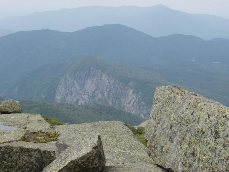
The views from Iroquois were wonderful, but the wind had picked up strength enough so that I found it impossible to hold the camera steady enough for good pictures.
Algonquin From Iroquois
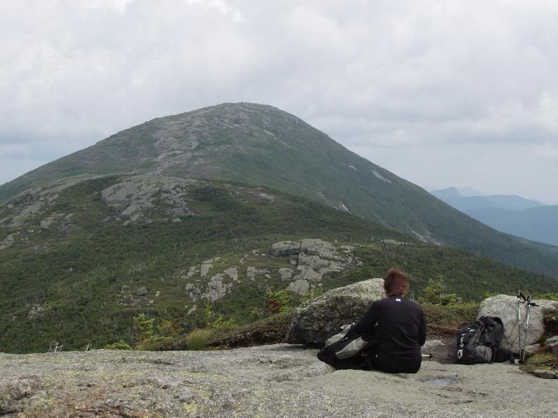
Colden From Iroquois
Back on Algonquin we were treated to good views of all the nearby Mountains. Returning on the trail to the LOJ, we passed the side trail to Wright, and decided to keep going. Our minds had not gone into peak-bagging mode at that time, but we have kicked ourselves in the butt for that decision now.
Thursday we decided to change our plans which had included a loop hike that would have been another 15+ day. Our feet were feeling the punishment of all those rocks. Less than a mile down from our campsite was the Trailhead to Cascade and Porter, so we decided to go for a couple of easier mountains.
We were very surprised by the excellent views , and the difficulty of these two gems, and it was a very satisfactory day.
Cascade Summit
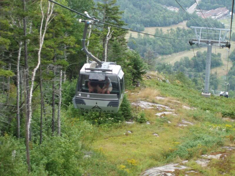
Friday we decided to be "Tourists" and drove up to see the Ausable Chasm, which had intrigued me since seeing it on "View-Master" as a child. The tour was truly amazing , and we took many pictures. On the way back we passed by Whiteface and decided "Why Not" We were up at little Whiteface in a Jiffy,
and taking pictures of Whiteface summit when the black clouds started rolling in. We beat a hasty retreat returning to the base just as the heavy rain started.
Whiteface Summit
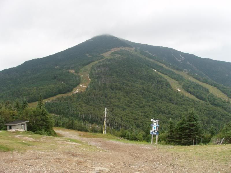
"The Trail" to Whiteface
All in all, we caught the fever from all these exciting and new Mountains. We're hoping for a return trip before it gets too cold, and more extensive trips next summer
")
