The Unstrung Harp
Active member
Continued thanks to each and every one of you on all the advice. I'm reading and re-reading your posts and gathering bits of insight from all the discussion and developing increasing amounts of respect for the VFTT community.
Bro, I've been wondering where you've been! Carters, I see! Love the Carters. And yes please, it'd be great to hike with you again, we need to catch up plus I need to show off some new snowshoes to someone who will appropriately appreciate them.")
Doug, good to know about Ike/drifts. I like to think I'd be keen to such things but that's precisely the kind of thing I might, in my n00bness, underestimate.
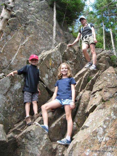
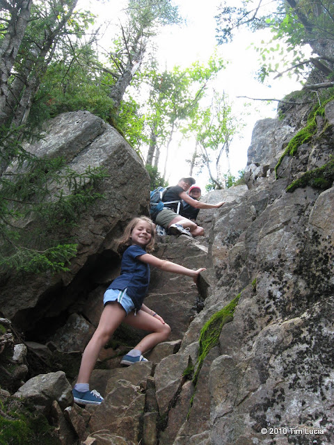
Jake, sounds like a rather derisive though valid argument. I don't remember the chimney being something to be scared of though I wasn't there when it was covered in ice. I can't imagine it'd get too bad but I'll bet there are times when it's better than others.
Bro, I've been wondering where you've been! Carters, I see! Love the Carters. And yes please, it'd be great to hike with you again, we need to catch up plus I need to show off some new snowshoes to someone who will appropriately appreciate them.
Doug, good to know about Ike/drifts. I like to think I'd be keen to such things but that's precisely the kind of thing I might, in my n00bness, underestimate.
Jake, sounds like a rather derisive though valid argument. I don't remember the chimney being something to be scared of though I wasn't there when it was covered in ice. I can't imagine it'd get too bad but I'll bet there are times when it's better than others.